|
|
|
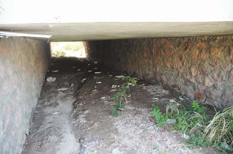
| Existing culvert in watershed/stream 1, under Highway 11 [3.75 m × 1.60 m]. |
|
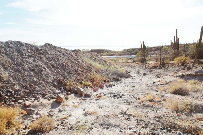
| Fill encroaching upon stream 1, u/s of highway crossing, looking d/s [road visible in background]. |
|
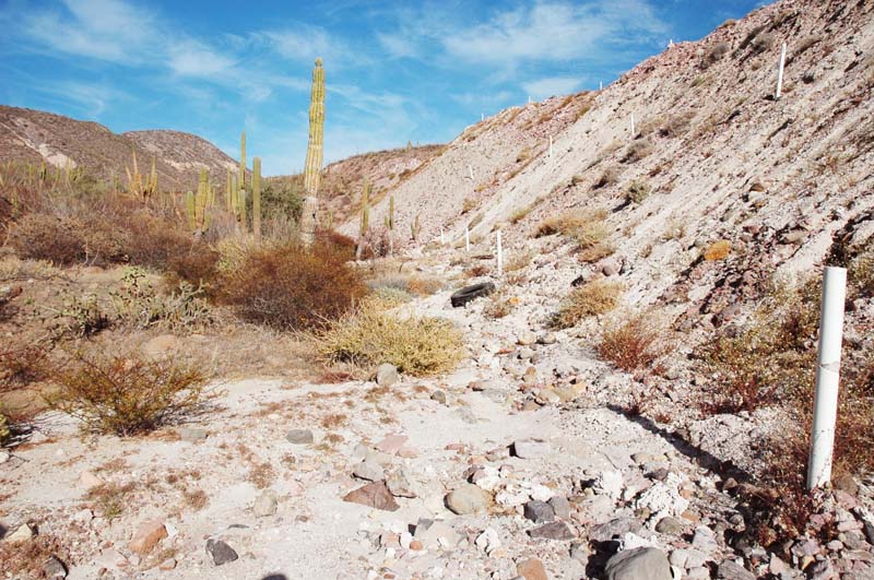
| Fill [on the right] encroaching upon stream 1, looking u/s. |
|
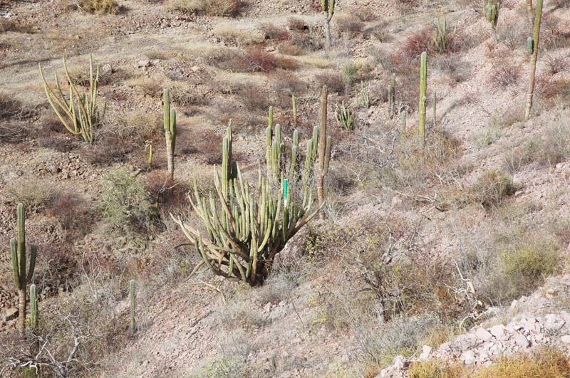
| View of terrain near stream 1, u/s of highway crossing. |

|
| Tributary of stream 1, u/s of highway crossing. |
|
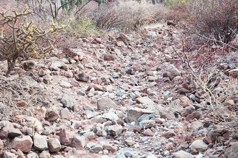
| Small channel contributing to stream 1. |
|
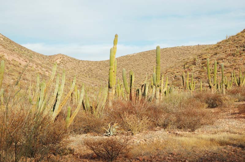
| View of headwaters of stream 2. |
|
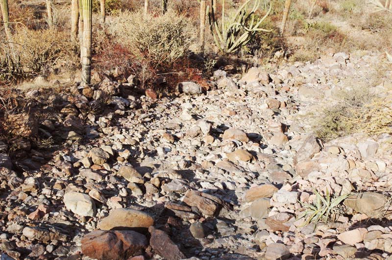
| Stream 2 at about midcourse, u/s of proposed development on stream [hole]. |
|
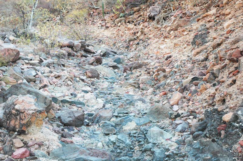
| Stream 2 at about midcourse, d/s of proposed development on stream [hole]. |
|
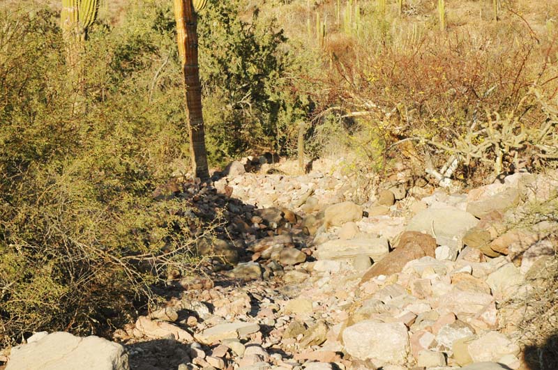
| Stream tributary to stream 2, d/s of proposed development [hole]. |

|
| Existing culvert in watershed/stream 2, under Highway 11 [3.85 m × 2.00 m]. |
|
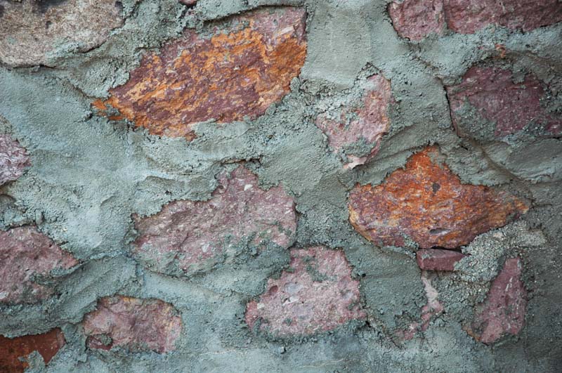
| Rock on concrete at culvert wall. |
|
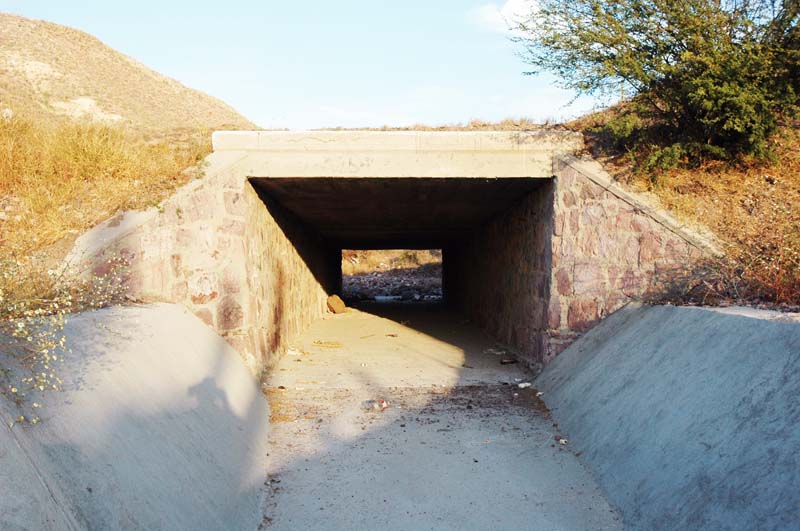
| Existing channel d/s of culvert for stream 2. |
|
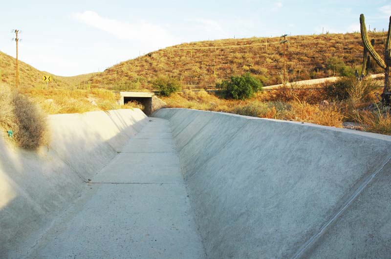
| Existing channel d/s of culvert for stream 2. |
|
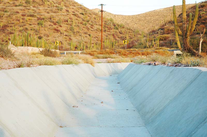
| Existing channel d/s of culvert for stream 3. |
|
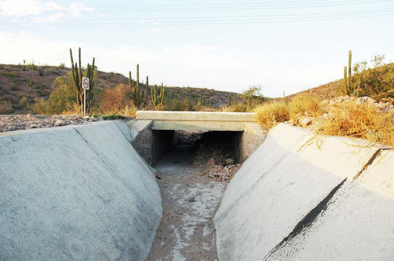
| View of culvert for stream 3, looking from d/s [2.50 m × 1.10 m]. |
|
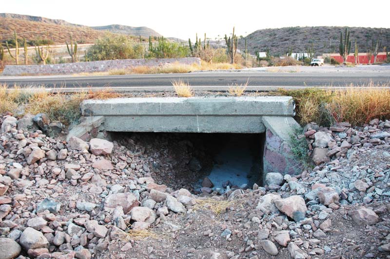
| View of culvert for stream 3, looking from u/s, partly covered with sediment [2.50 m × 1.10 m]. |
|
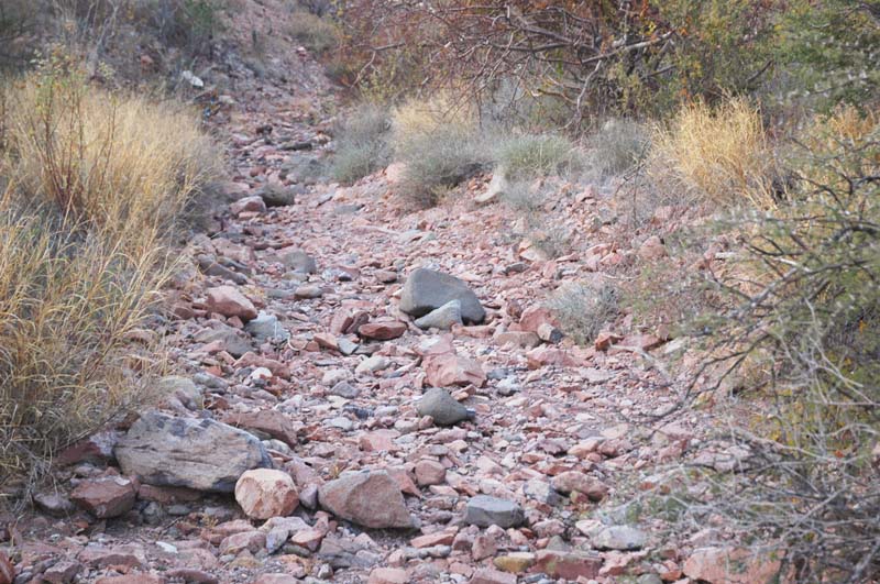
| View of stream 3, u/s of culvert, looking u/s. |
|
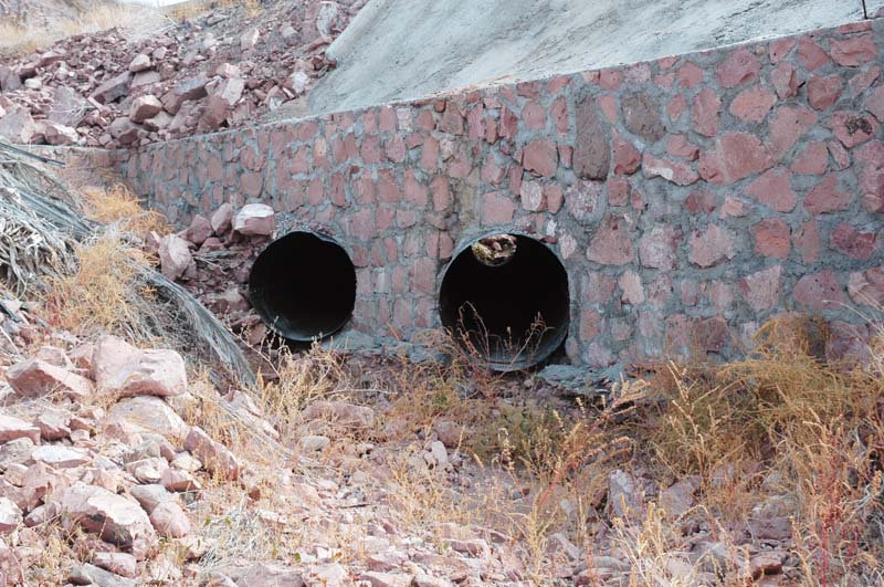
| Culvert under existing road, stream 3 [48 in diameter]. |
|
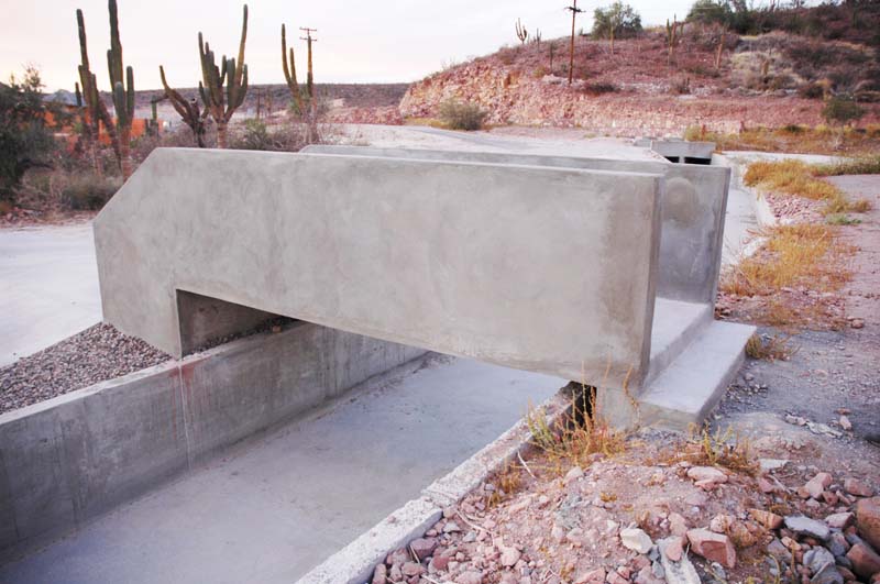
| Existing diversion channel from stream 4 [2.95 m × 1.00 m], with pedestrian crossing near hotel. |
|
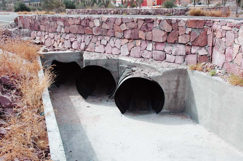
| Crossing of diversion channel [stream 4] with highway Mexico 11, looking from u/s [hotel in background]. |
|
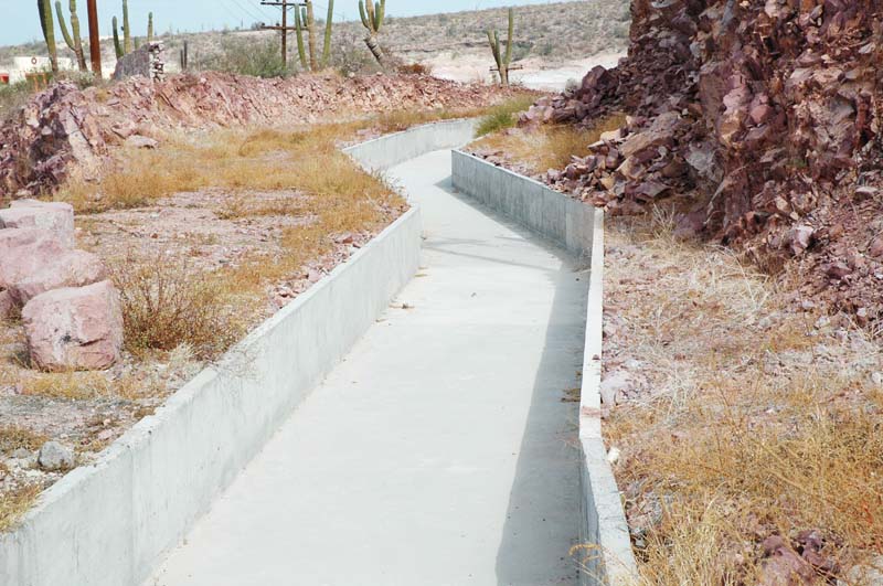
| Existing diversion channel from stream 4. |
|
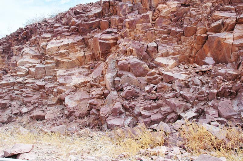
| Existing exposed fractured rock [ryolite]. |
|
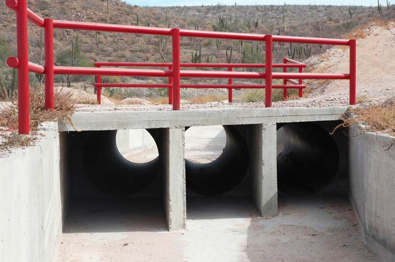
| Crossing of diversion channel [stream 4] with local unpaved road, viewed from d/s. |

|
| Crossing of diversion channel [stream 4] with local unpaved road, viewed from u/s. |
|
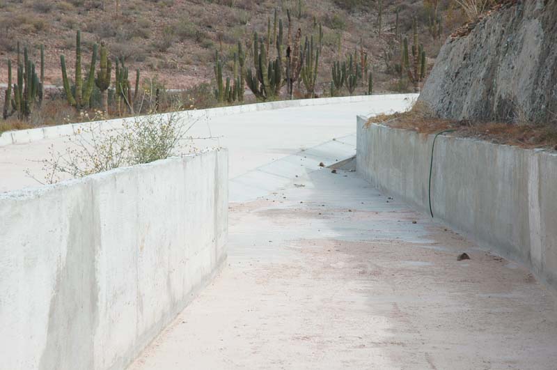
| Entrance to diversion channel, from paved road, looking from d/s. |
|
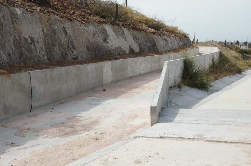
| Detail of entrance to diversion channel, from paved road, looking from u/s. |
|
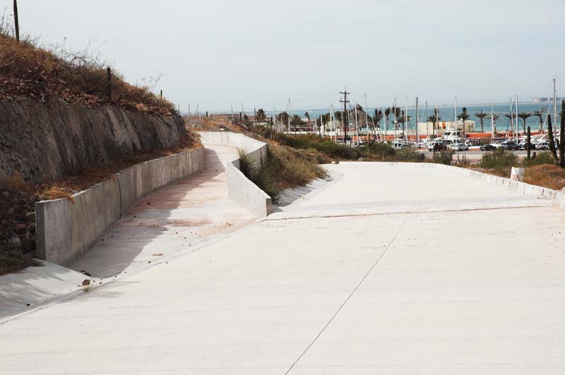
| Entrance to diversion channel, from paved road, looking from u/s. |
|
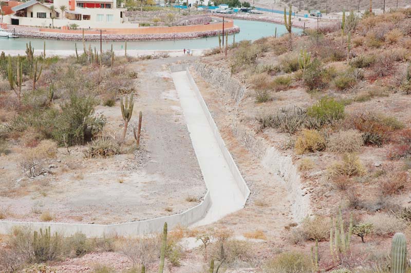
| Panoramic view of diversion channel from stream 4 to stream 3. |