|
ENGINEERING HYDROLOGY 010
1.1 1.2
1.3 1.4 1.5 1.6 1.7
2.1 2.2
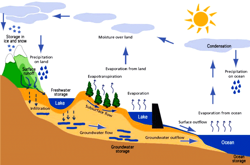
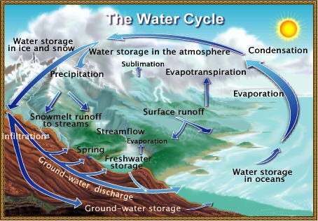
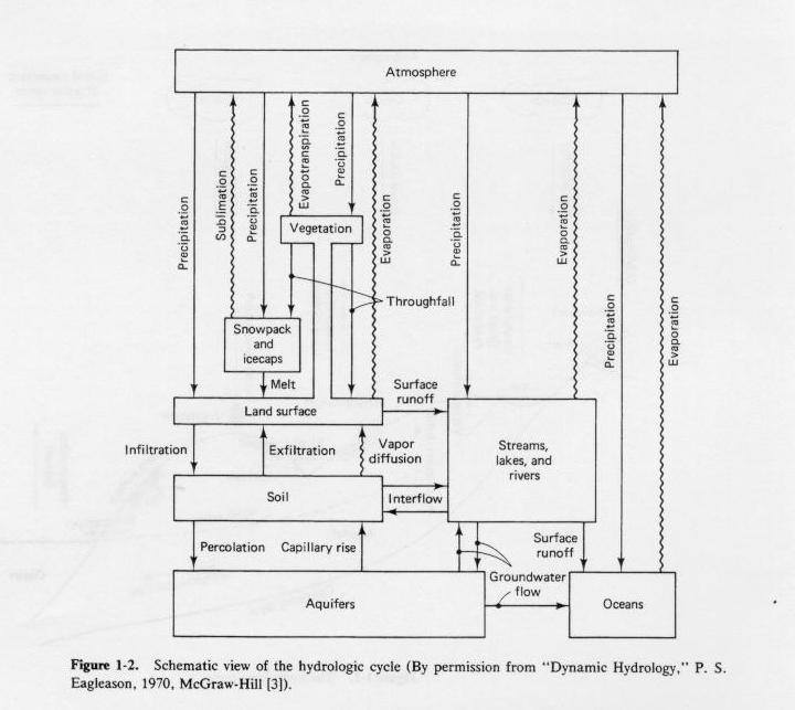
2.3 2.4 2.5 2.6 Atmosphere: Clouds are contained in the lower atmosphere.
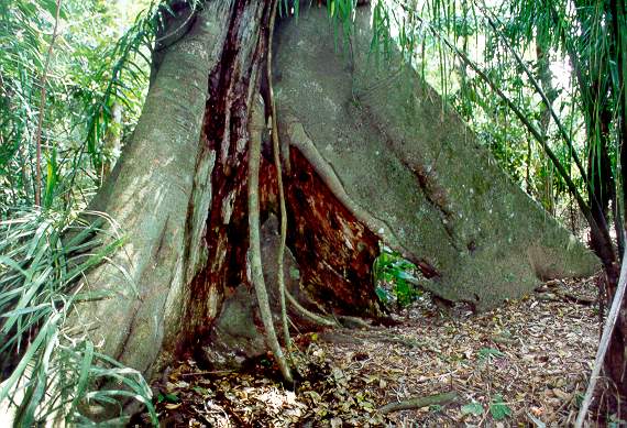
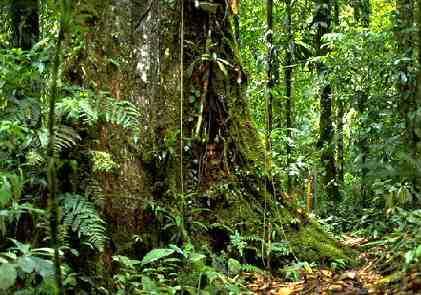
2.7 Vegetation: Tropical rainforests have great quantities of biomass per unit of area, and the biomass contains a lot of water.
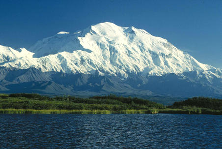
2.8 Snowpack and icecaps: Glaciers can hold great quantities of water.
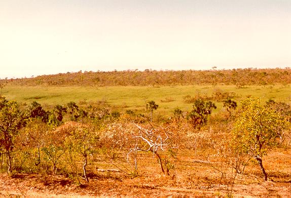
2.9 Land surface: Vegetation gradients reveal differences in moisture.
2.10 Soil: Soil can hold significant amounts of water.
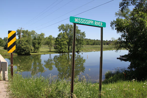
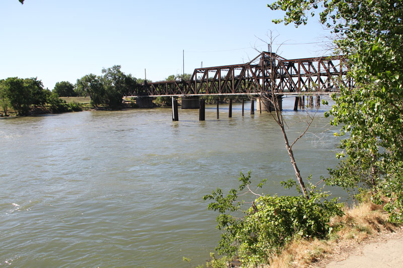
2.11 Streams, lakes and rivers: Streams flow by gravity from headwaters to ocean.
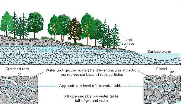
2.12 Aquifers: Aquifers can hold great amounts of water.
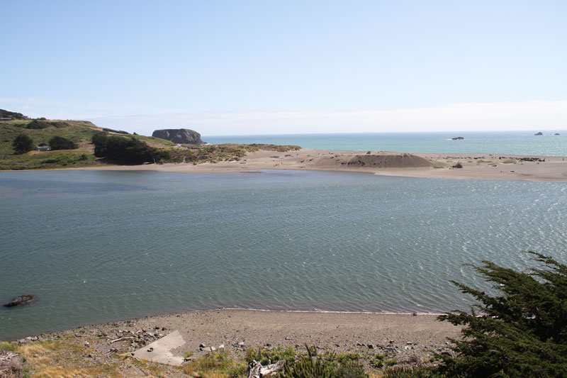
2.13 Oceans: All water originates in the ocean and returns to the ocean.
2.14 The liquid-transport phases of the hydrologic cycle are:
3. THE CATCHMENT AND ITS HYDROLOGIC BUDGET
3.1 A catchment is a portion of the land surface that collects runoff and concentrates it at one point or outlet. 3.2 The outlet is referred to as the mouth. 3.3 The terms watershed and basin refer to catchments. 3.4 Small catchments are watersheds; large catchments are basins. 3.5 The hydrologic budget is an accounting of the various transport phases of the hydrologic cycle. 3.6 The following budget considers both surface and groundwater:
where
ΔS = change in storage P = precipitation E = evaporation T = evapotranspiration G = groundwater flow out of the catchment Q = surface runoff out of the catchment. 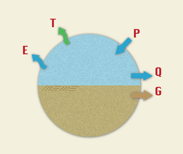
Hydrologic budget that considers both surface and ground water
3.7 The following budget considers only surface water:
where
I = infiltration 
Hydrologic budget that considers only surface water
3.8 Note that there is some double counting, because infiltration I can return eventually as evapotranspiration T. 3.9 Likewise, infiltration can convert to baseflow and eventually return to the surface water as part of surface runoff Q. 3.10 For certain applications, when the change in storage ΔS is zero, and the sum of E + T + I can be taken as the losses to runoff L, then runoff Q is:
3.11 This equation is very useful in flood hydrology.
4.1 There are many uses of Engineering Hydrology. Examples are:
4.2 The variation of water yield from season to season; and from year to year. Most of the water in deserts goes to evaporation, while most of the water in rainforests goes to runoff.
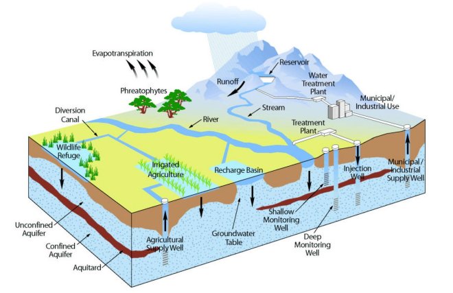
4.3 The relation between surface water and groundwater. The quantities of groundwater are about 100 times greater than the quantities of surface water.
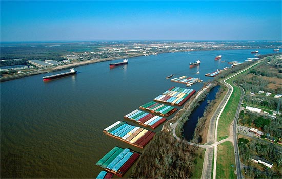
4.4 The permanence of low flows, to provide for economically beneficial uses such as hydropower, inland navigation, and water quality.
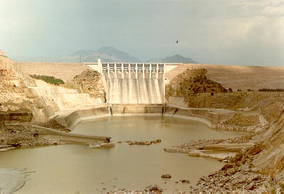
4.5 The multiannual variation of flows for the purpose of sizing large storage reservoirs.
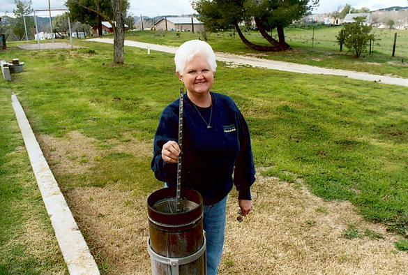
4.6 Hydrologic field equipment, to measure precipitation and streamflows, including hardware and software.
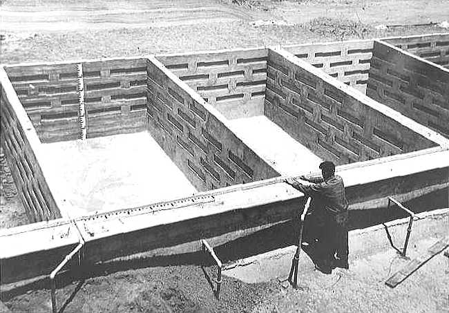
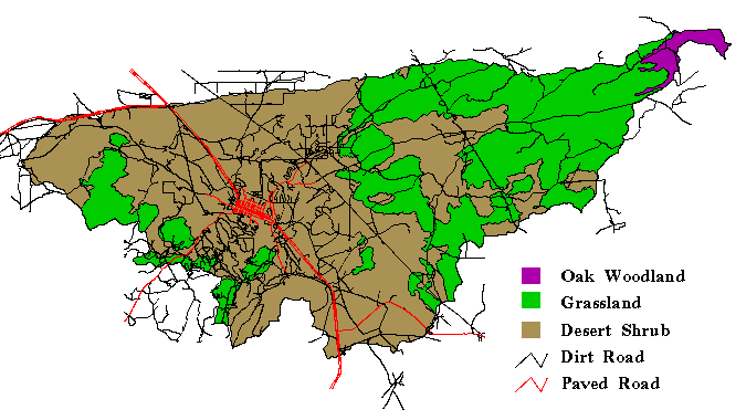
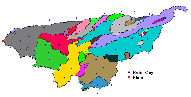
5.1 Models are either material or formal. 5.2 Material models are physical representations of the prototype, that is, physical models. 5.3 Formal models are a mathematical abstraction of an idealized situation. 5.4 Material models are either iconic or analog. 5.5 Iconic models are simplified representations of real systems, such as the lysimeters of Coshocton, Ohio, and San Dimas, California, the rainfall simulator at Colorado State University, and the USDA ARS Walnut Gulch Experimental Watershed near Tombstone, Arizona.
5.6 Analog models use other substances, such as electricity. 5.7 All formal models are mathematical in nature. 5.8 Mathematical models classify into: 5.9 Deterministic, which are formulated using physical or chemical laws. 5.10 Probabilistic, which are governed by laws of chance.
5.11 Conceptual, which are simplified representation of physical processes, intended to work in the mean. 5.12 Parametric, which use algebraic equations and are limited to a certain region.
5.13 The kinematic wave routing is deterministic. 5.14 The Gumbel method of flood frequency is probabilistic. 5.15 The cascade of linear reservoirs is conceptual. 5.16 The runoff curve number is conceptual, but based on parametric data. 5.17 The USGS State equations for flood peak estimation are parametric.
5.18 The rational method is conceptual because the peak flow Qp follows the principle of runoff concentration, that is, the product of rainfall intensity I times the drainage area A, and parametric because the runoff coefficient C is empirical.
5.19 Hydrologic models can be lumped, distributed, or quasi-distributed. 5.20 The lumped models describe temporal variations but cannot describe spatial variations. 5.21 The distributed models can describe both temporal and spatial variations. 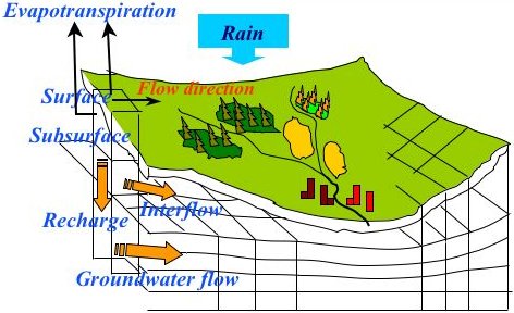 Schematic for a distributed catchment model (United Nations University) 5.22 A quasi-distributed model such as HEC-HMS's Modified Clark is a hybrid, that is, a lumped method in a distributed GIS context. 5.23 The solutions can be analytical or numerical. 5.24 The models used in practice are numerical in nature, such as HEC-HMS.
6.1 Surface runoff occurs when rainfall intensity exceeds the abstractive capability of the catchment. 6.2 It also occurs when the soil profile is saturated. 6.3 Large amounts of surface runoff are referred to as floods. 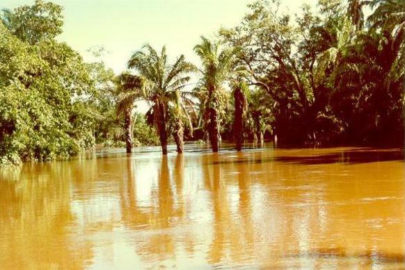 Flood stage in the Chane river, Santa Cruz, Bolivia, on January 19, 1989. 6.4 Rainfall varies in space and time. 6.5 For modeling purposes, rainfall can be assumed to vary as follows: 6.6 Constant in time and space, applicable to small catchments, as with the rational method. 6.7 Constant in space but varying in time, applicable to midsize catchments, as with the unit hydrograph. 6.8 Varying in both space and time, applicable to large catchments, as with reservoir and channel routing.
6.9 The larger the catchment, the more likely that it is gaged. 6.10 The probabilistic approach is suitable for large catchments, but also for midsize catchments. 6.11 The parametric approach is suitable for midsize catchments, as with the USGS State equations. 6.12 The unit hydrograph, a conceptual method, is particularly applicable to midsize catchments. 6.13 Routing can be used for all size catchments, but it is required for large catchments, due primarily to the spatial variability of rainfall. 6.14 In flood hydrology, the choice of method is a function of catchment scale.
6.15 Hydrologic methods vary from country to country. 6.16 Some conceptual U.S. methods such as the NRCS runoff curve number are used throughout the world.
Lecturer: Dr. Victor M. Ponce Music: Fernando Oñate Editor: Flor Pérez Credits: Google
Copyright © 2010 Visualab Productions All rights reserved
|
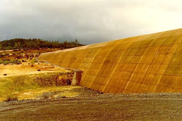




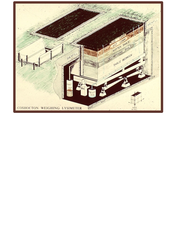 Coshocton weighing lysimeter.
