Dr. Victor Miguel Ponce
100429 17:15; revised 101016 21:00

TASKS:
- Hydrologic series
- Secure 65-yr series for Tijuana river basin at entrance to the U.S (Parra).
- Secure Tijuana river basin area at entrance to U.S. (Parra).
- Secure percentages of areas: (a) controlled (by three dams: Morena, Barrett, and Rodriguez) and (b) uncontrolled (Parra).
- Secure El Barbon-Guadalupe river basin areas, at mouth of Cañon Hondo and at Ejido Santa Rosa (IMIP).
- Develop procedure to adjust Tijuana river series to El Barbon-Guadalupe (Visualab).
- River bed profile
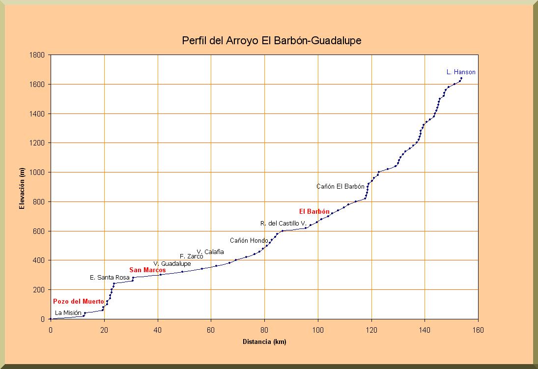
- Confirm river bed profile for Guadalupe river (Visualab).
- Select computational reaches (Visualab) (20 reaches).
- Field survey (Team; Ponce, Zuniga, Castro, Gostomelskiy)
- Measure cross sections (widths and side slopes) for all computational reaches (20).
- Sample bed material for all computational reaches (20).
- Estimate Manning's n for all computational reaches (20).
- Lab analysis (GIRL)
- Perform grain size analysis in 20 samples.
- Report curves and mean diameter (mm).
- Modeling (Visualab)
- Develop routing model (Fortran).
- Sediment transport calculation with Colby subroutine.
- Divide flow series into several (2-3 series).
- Determine amounts of sediment deposition per reach.
- Integrate sediment deposition per year, per computational reach, per 65-yr period, per study reach.
- Write report and post on web.