|
OPENCHANNEL 012: APPLICATIONS
1. APPLICATIONS 1.01 Open-channel hydraulics is used in the design of water conveyance structures of all types. 1.02 Applications are diverse, including: (1) water supply, (2) irrigation, (3) drainage, (4) flood control, (5) hydropower, and (6) navigation. 1.03 For instance, the California Aqueduct transfers water from Northern California to Southern California, for use in agriculture and urban water supply. 1.04 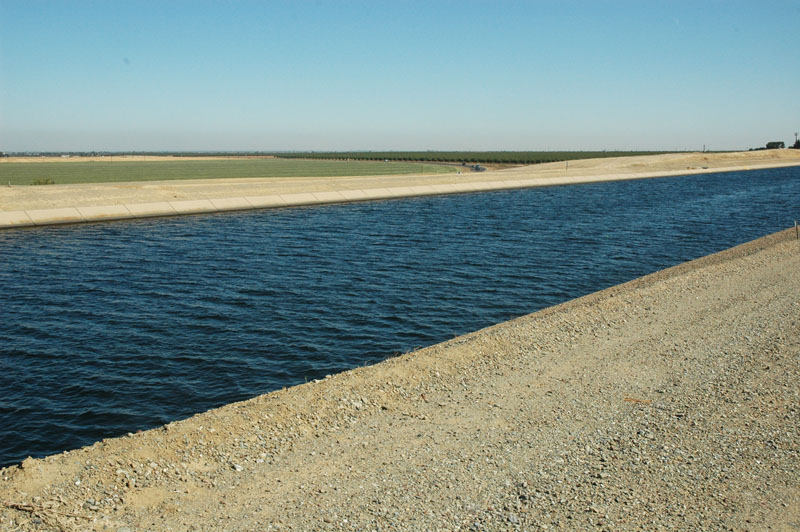
1.05 Irrigation canals move the water from point of collection to point of use, for instance, from a reservoir to the agricultural field. 1.06 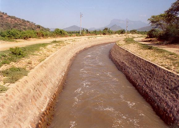
1.07 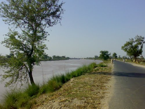
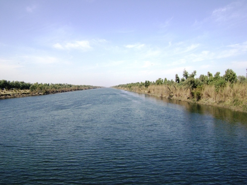
The Qadirabad-Baloki Link Canal, one of twelve link canals of the Indus Basin Irrigation Project, Pakistan, among the largest water-transfer projects in the world. The Chasma-Jhelum Link Canal, one of twelve link canals of the Indus Basin Irrigation Project, Pakistan, among the largest water-transfer projects in the world. 1.08 Drainage channels move the water away from the farm fields to collection centers for eventual disposal. 1.09 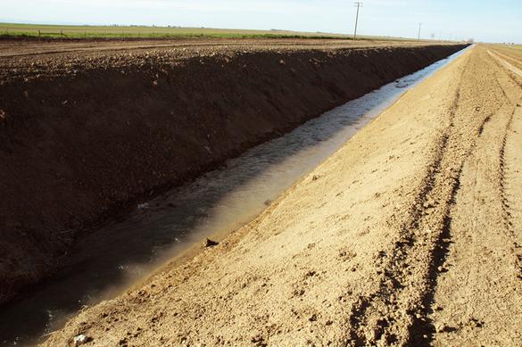 This photo shows a drainage channel in the Central Valley, California.
1.10 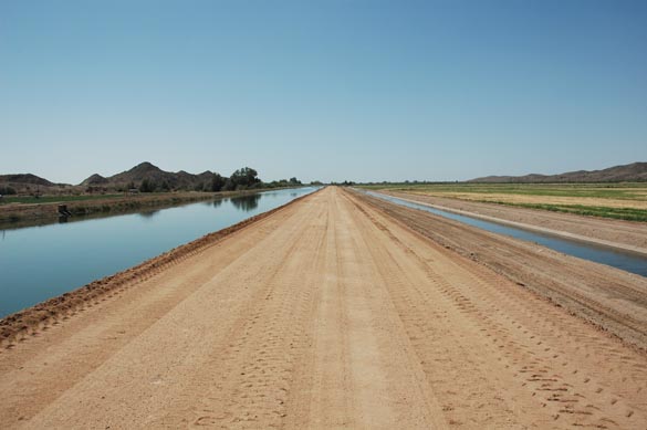 This photo shows the main canal and main drain of the Wellton-Mohawk irrigation project, Arizona.
Note that the direction of flows are opposite in the canal and drain.
1.11 Canals and channels are used in flood control and flood management. 1.12 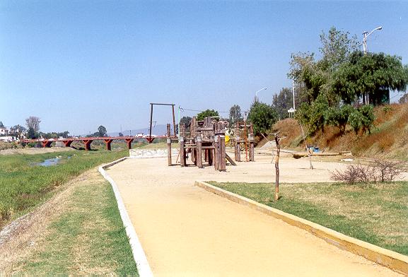 This photo shows a flood plain channel developed into a recreation area, Atoyac river, Oaxaca, Mexico.
1.13 Open-channel and free-surface flow are used in flood modeling and flood forecasting, in one and two dimensions. 1.14 Open-channel flow is also useful in the design of navigation channels. 1.15 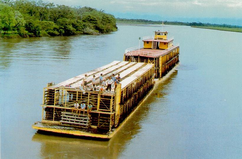
1.16 Open-channel flow is useful in the design of bridge foundations and abutments. 1.17 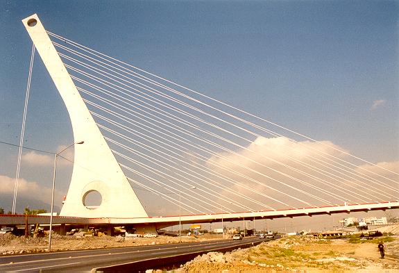 This photo shows a single-support suspension bridge spanning the Santa Catarina river, in Monterrey, Mexico.
1.18 River mechanics and sedimentation engineering also benefit from a knowledge of open-channel flow. 1.19 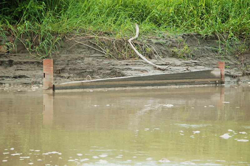 This photo shows a concrete panel built for the control of bank erosion
on the Metica river, Meta, Colombia.
1.20 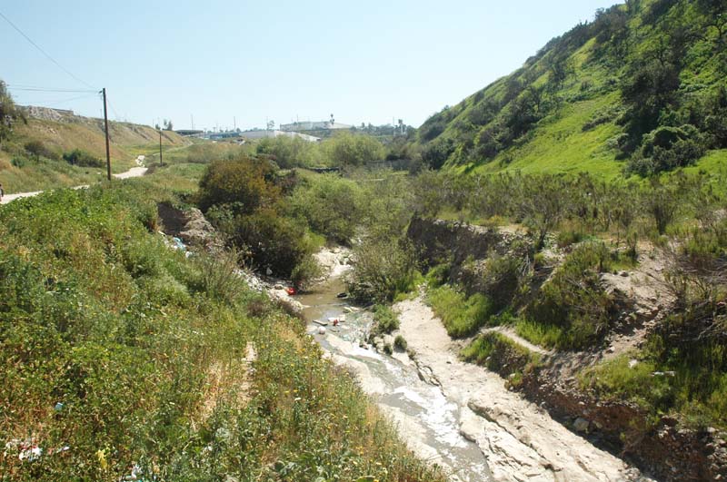 This photo shows erosion to bedrock downstream of a sediment retention dam, Tijuana, Baja California, Mexico.
1.21 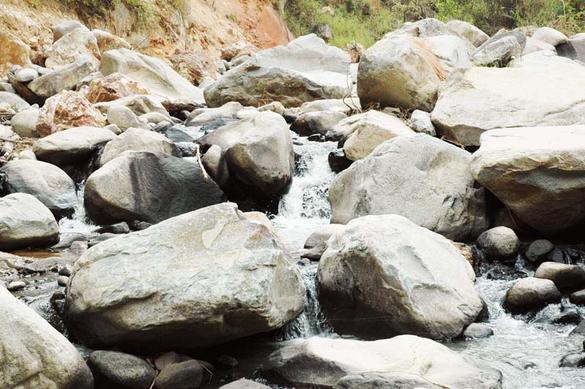 This photo shows the transport of large boulders in a steep upland stream, Rachichuela Creek, Lambayeque, Peru.
1.22 Natural unsteady flow phenomena, such as tidal bores, also benefits from a knowledge of free-surface flow. 1.23 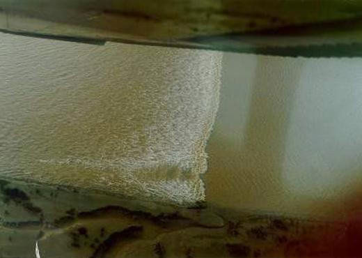
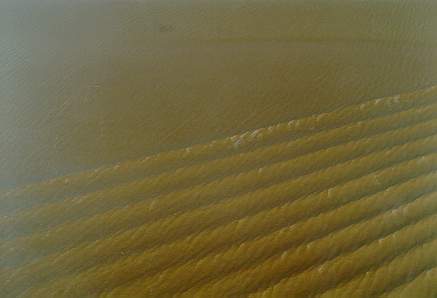 These photos shows a tidal wave and its lateral diffusion into a wave train, Araguari river, Amapa, Brazil,
at 8:00 am, on January 22, 1989.
1.24 Two-dimensional free-surface flow is also subject to the laws of open-channel hydraulics. 1.25 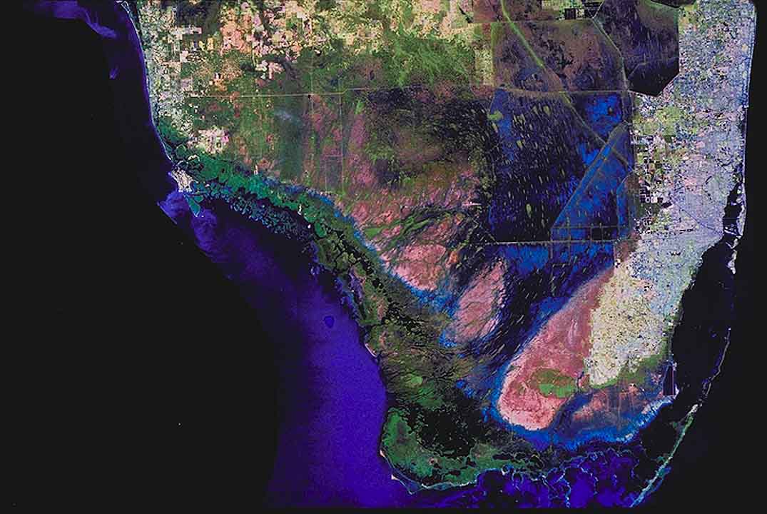
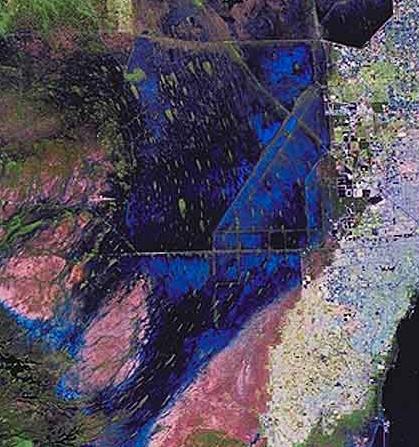
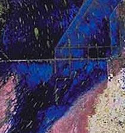 This satellite image shows the main section of the Everglades wetland in South Florida.
Note the general direction of flow, parallel to the elongated earthmounds, or hummocks.
2. FEATURES 2.01 Canal drops are implemented in cases where the terrain slope is too steep. 2.02 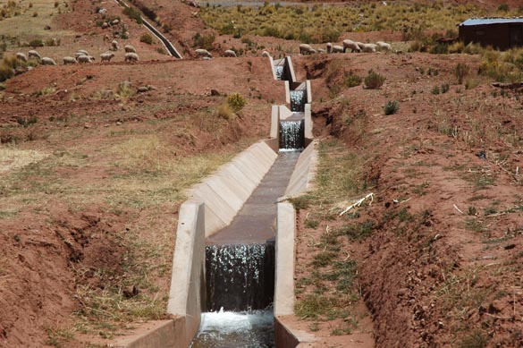
2.03 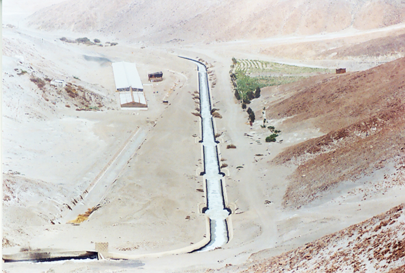 This photo shows the old and new alignments
for the La Joya canal, in Arequipa, Peru.
The new alignment, to the right, implemented channel drops
in order to avoid flow instability.
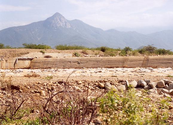
2.04 Crossings between canals and rivers are implemented with bypasses or syphons. 2.05 Bypasses are effectively bridges to convey the creek over the canal, or the canal over the creek. 2.06 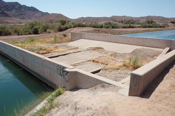
2.07 Syphons are closed conduits used to cross a stream or creek by flowing under it. 2.08 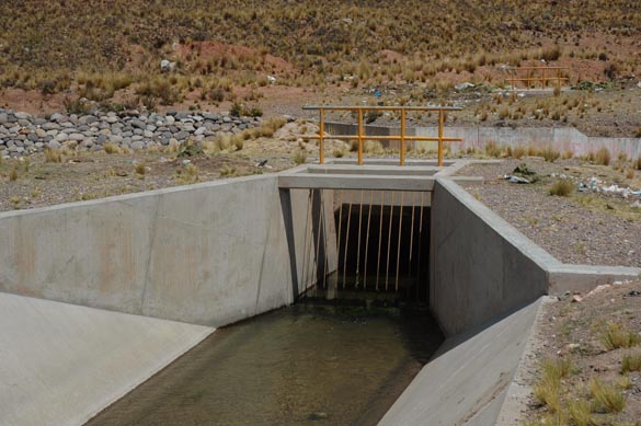
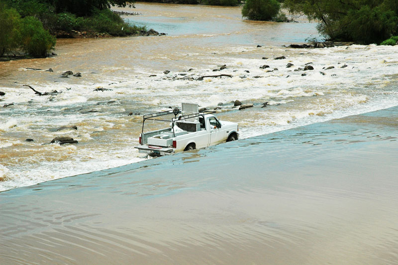
2.09 Fords are vehicular crossing of streams where a bridge crossing is not economically feasible. 2.10 
2.11 An Arizona crossing is a combination of ford and culvert crossing, developed for use in the semiarid U.S. Southwest. 2.12 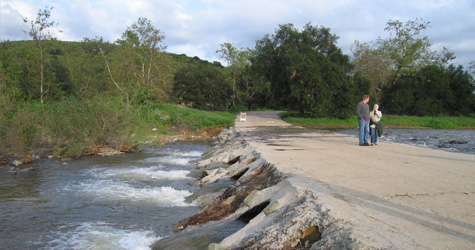
2.13 Natural channels can be modified by use of levees, which constrain the flood plain to reduce the frequency of flooding. 2.14 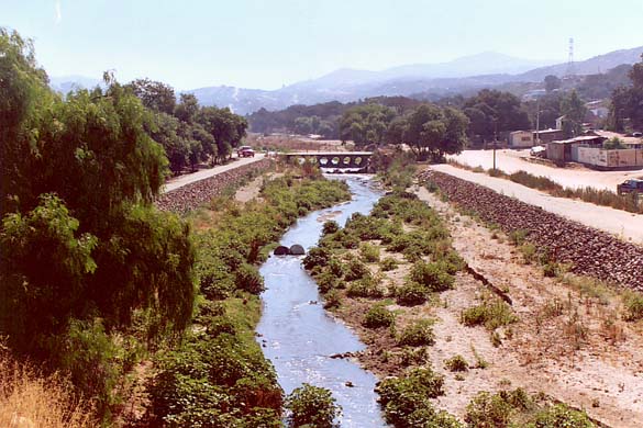
5.00 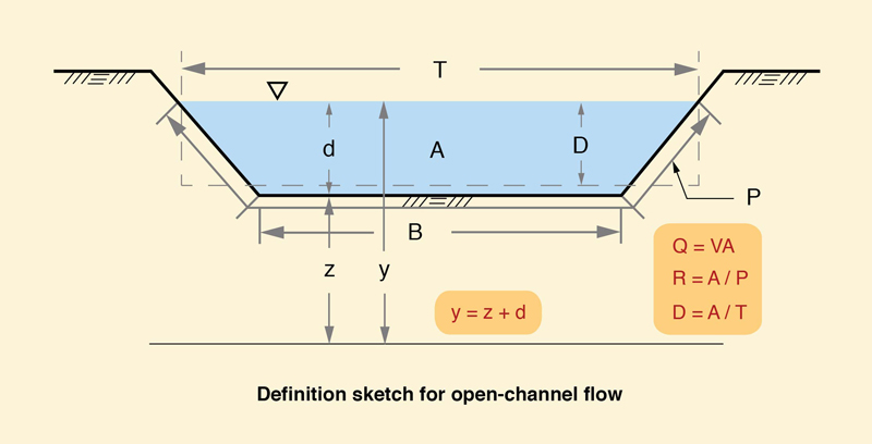 Definition sketch.
5.01 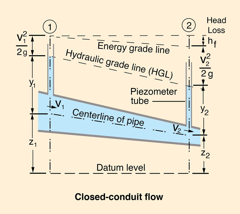 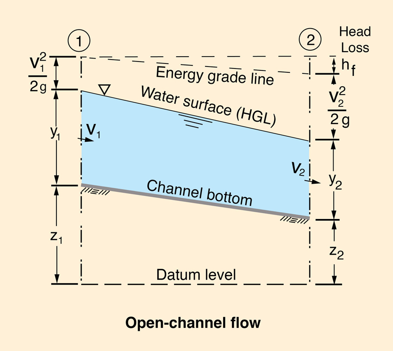
5.02 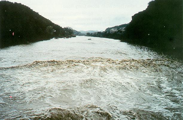 Hassayampa river near Morristown, Arizona, on February 9, 1993 (USGS Professional Paper No. 1584).
5.03  Tinajones feeder canal, Lambayeque, Peru.
5.04 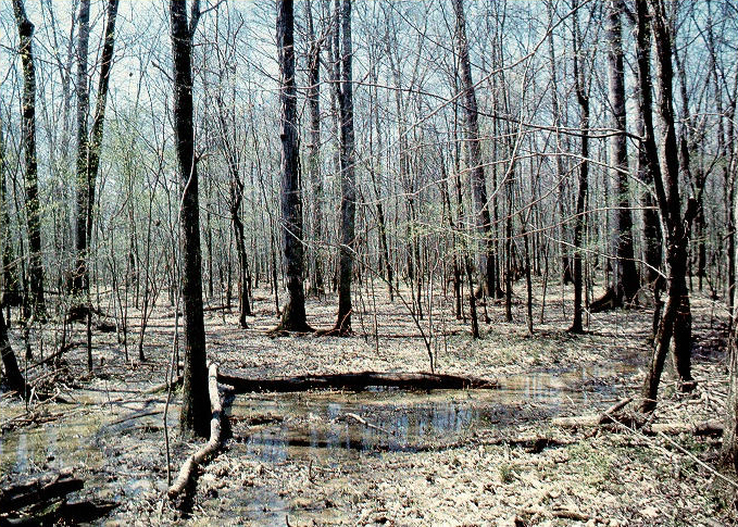 Yockanookany River near Thomastown, Miss. (USGS Water Supply Paper No. 2339).
5.05  The South Florida Everglades (SFWMD).
5.06  The California Aqueduct (San Luis Canal).
5.07 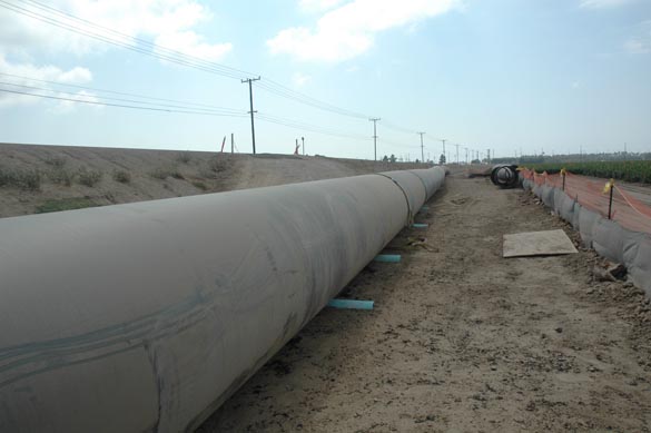 The Calleguas Salinity Management pipeline, under construction on September 19, 2007.
5.08 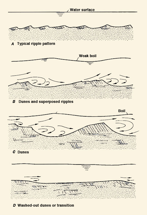 Forms of bed roughness (USGS Professional Paper No. XXX).
5.09 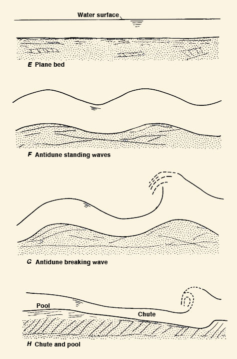 Forms of bed roughness (USGS Professional Paper No. XXX).
5.10 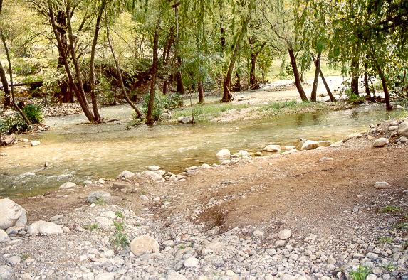 Rio La Silla Natural Park, Monterrey, Mexico.
5.12 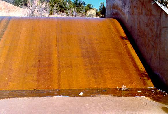 Overflow spillway at Sheep Creek Barrier Dam, Utah.
5.13  Amazon tidal bore.
5.14  Amazon tidal bore.
5.15 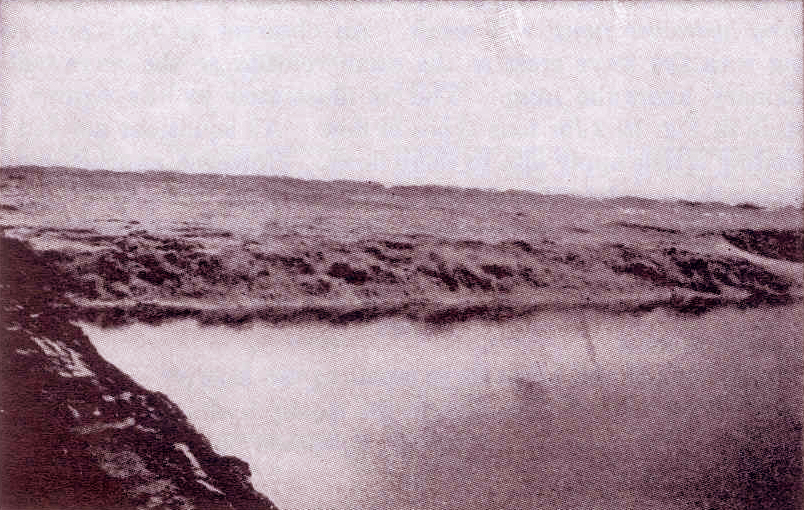 Tidal bore on the Chien Tang river, China (Chow, 1959).
5.16  River crossing by siphon, Cabana-Mañazo Canal, Puno, Peru.
5.17  Series of canal drops, Cabana-Mañazo Canal, Puno, Peru.
5.18 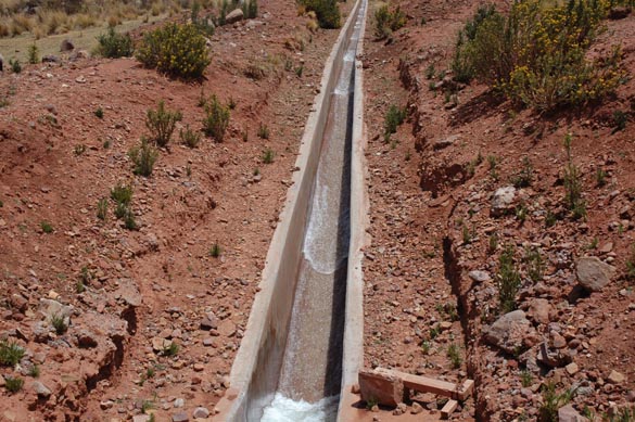 Roll waves, Cabana-Mañazo Canal, Puno, Peru.
5.19 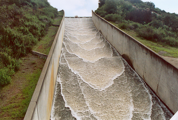 Roll waves on spillway at Turner reservoir, San Diego County, California, spilling
on February 24, 2005.
5.20 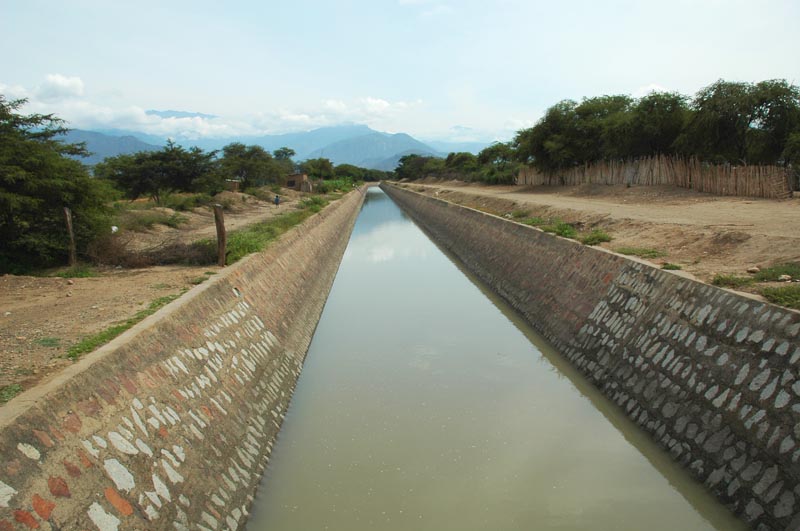 Tinajones feeder canal, Lambayeque, Peru,
5.21  Creek bypass, Wellton-Mohawk main canal, Arizona.
5.22 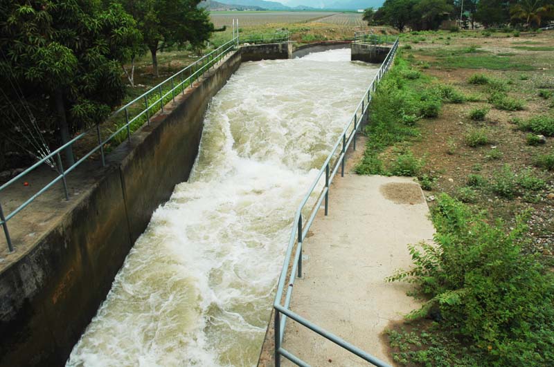 Hydraulic jump at entrance to Tinajones feeder canal, Lambayeque, Peru.
5.23  Crossing of Tinajones feeder canal with Chiriquipe Wash, Lambayeque, Peru.
5.24 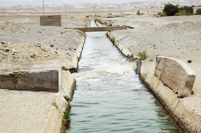 Confluence of Fresh Water Canal (left) with La Cano Canal (foreground), Arequipa, Peru.
5.25 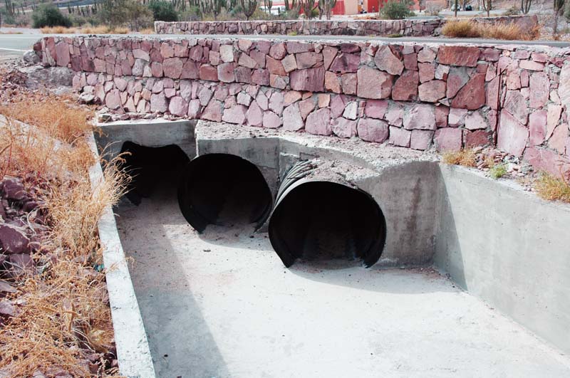 Corrugated steel culvert, La Paz, Baja California Sur, Mexico.
5.26 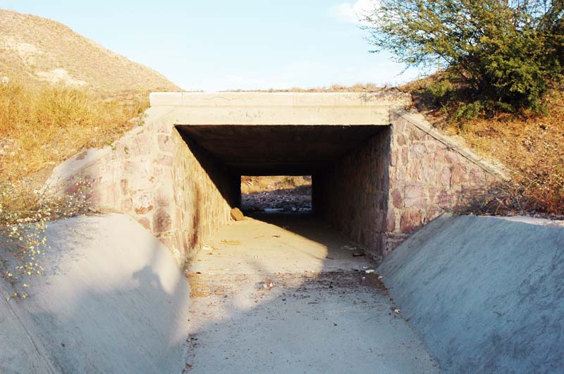 Concrete box culvert, La Paz, Baja California Sur, Mexico.
5.27  Arizona crossing, Irvine Ranch, California (Fuscoe Engineering).
5.28  Ford in Grande de Santiago river, Nayarit, Mexico.
5.29  Ford in Jaguaribe river, Ceara, Brazil.
5.30  Flood plain park, Atoyac river, Oaxaca, Mexico.
5.31  Streambed degradation to bedrock, Aguaje de la Tuna, Tijuana, Baja California, Mexico.
5.32 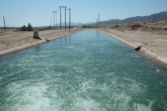 Wellton Mohawk main canal, Arizona.
5.33  Agricultural drain, San Joaquin valley, California.
5.34 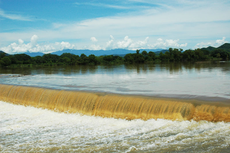 El Cora ford, Grande de Santiago river, Nayarit, Mexico.
5.35 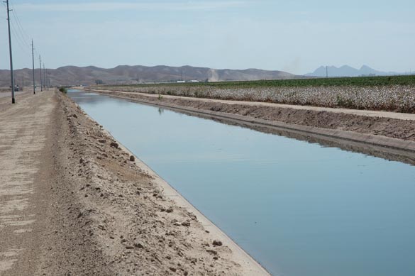 Wellton-Mohawk irrigation canal, Arizona.
5.36 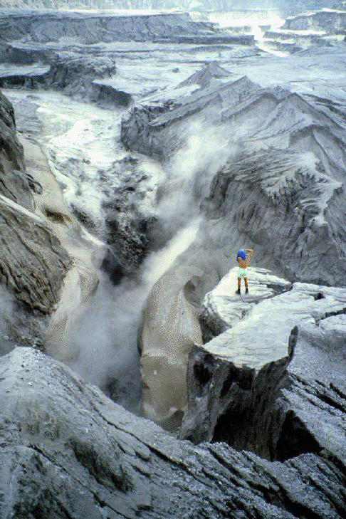 Lahar in the Lower Sacobia river, Phillipines, July 22, 1993.
5.37  Debris flow in Yunnan province, China.
5.38  La Joya Canal, Arequipa, Peru.
5.39  Levee on the Tecate river, Tecate, Baja California, Mexico.
5.40  Navigation on the Meta River, Colombia.
5.41 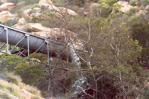 Dulzura conduit overflowing after heavy rain on March 5, 2005, San Diego County, California.
5.42 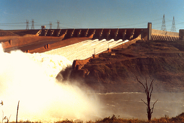 Emergency spillway at Itaipu Dam, on the Parana river, along the border between Brazil and Paraguay.
5.43  Single-abutment suspension bridge over Santa Catarina river, Monterrey, Mexico.
5.44 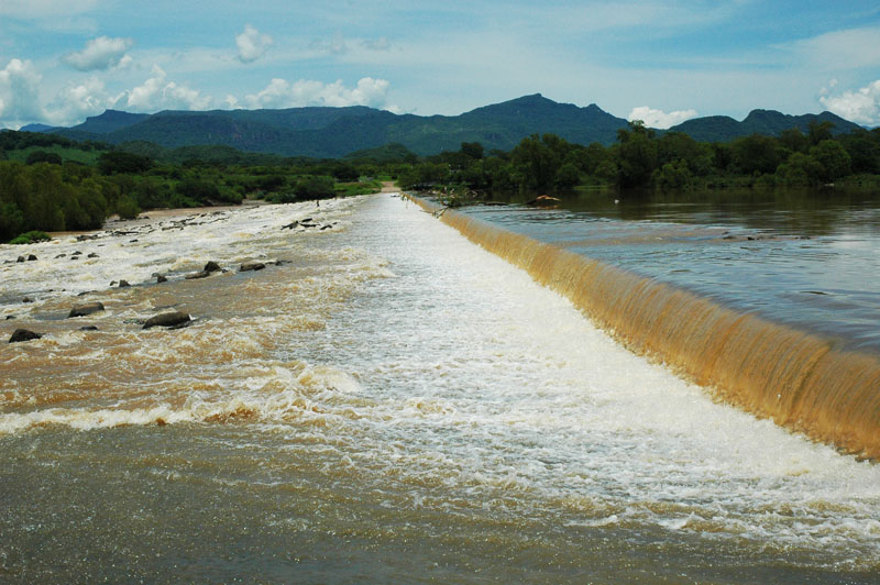 El Cora ford in Grande de Santiago river, Nayarit, Mexico.
5.45 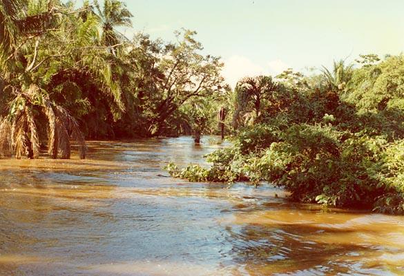 Flood stage on the Chane river, Bolivia, January 19, 1990.
5.46  Canal and drain, Wellton-Mohawk irrigation district, near Wellton, Arizona.
5.47  Submerged panel to control bank erosion, Metica river, Meta Department, Colombia.
5.48  The Everglades wetland, South Florida, showing direction of flow by the alignment of elongated hummocks.
5.49  The Everglades wetland, South Florida, showing direction of flow by the alignment of elongated hummocks.
5.50 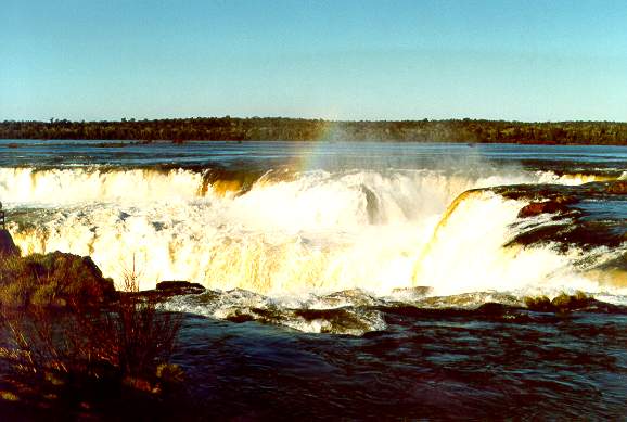 Devil's Throat at Iguazu Falls, border between between Argentina and Brazil.
5.51 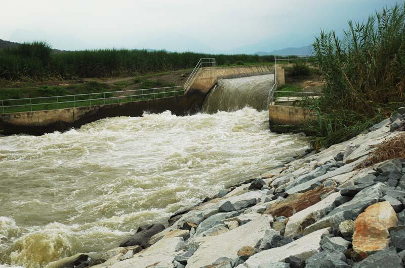 Hydraulic drop in Tinajones feeder canal, Lambayeque, Peru.
5.52  Rachichuela Creek, Lambayeque, Peru.
5.53 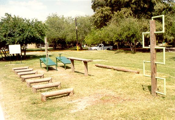 La Silla River Natural Park, Monterrey, Mexico.
5.54  Qadirabad-Baloki Link Canal, Pakistan.
5.55  Chasma-Jhelum Link Canal, Pakistan.
Narrator: Victor M. Ponce Music: Fernando Oñate Editor: Flor Pérez
Copyright © 2011 Visualab Productions All rights reserved
|