Steps:
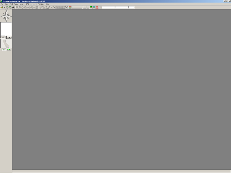
- Open Terrain Navigator Pro.
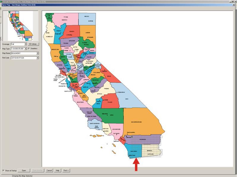
- Open Map, in this example you open San Diego/Joshua Tree (CA). Select the quadrant that you want to work with.
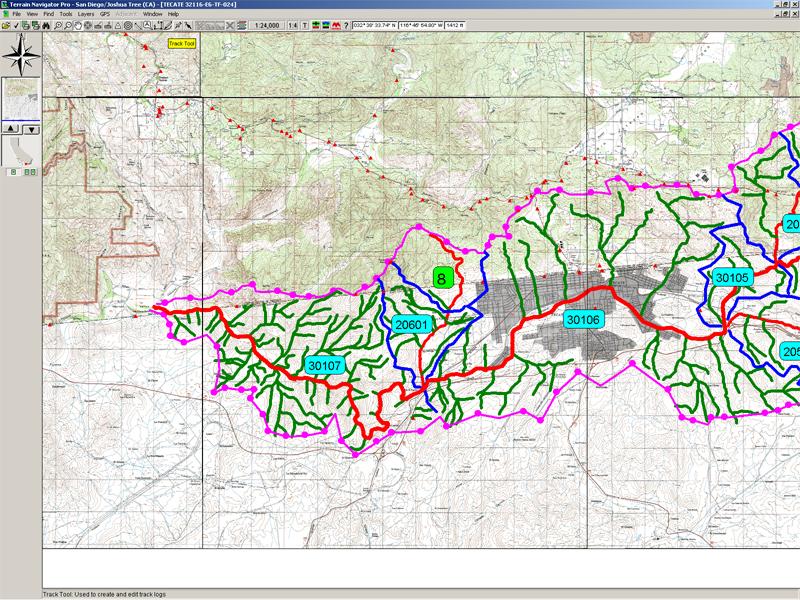
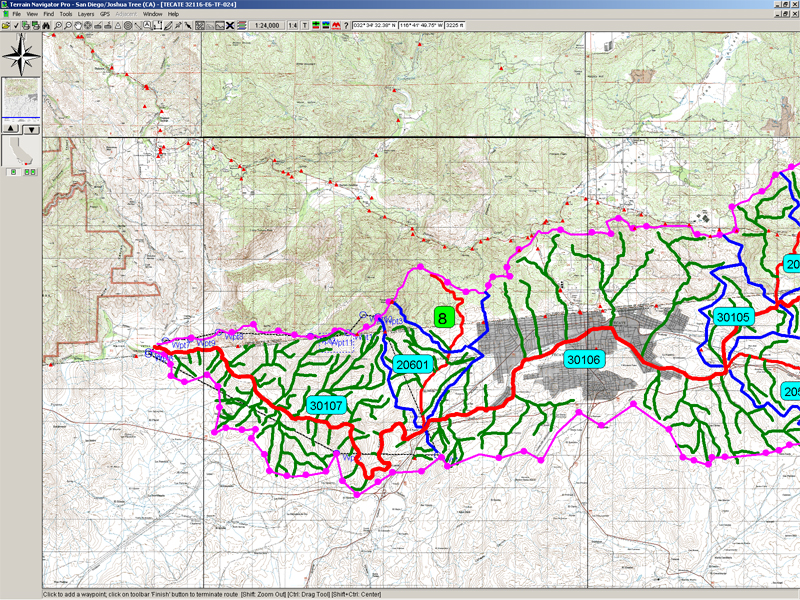
- From the Tool Bar select the "track tool" (a pencil) to draw the lines.
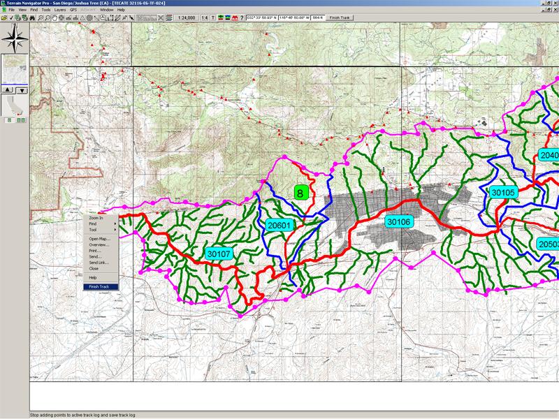
- When you finish the track, right click and select "Finish Track" on the menu.
- If you want to edit the line, right click and select "Edit" on the menu.
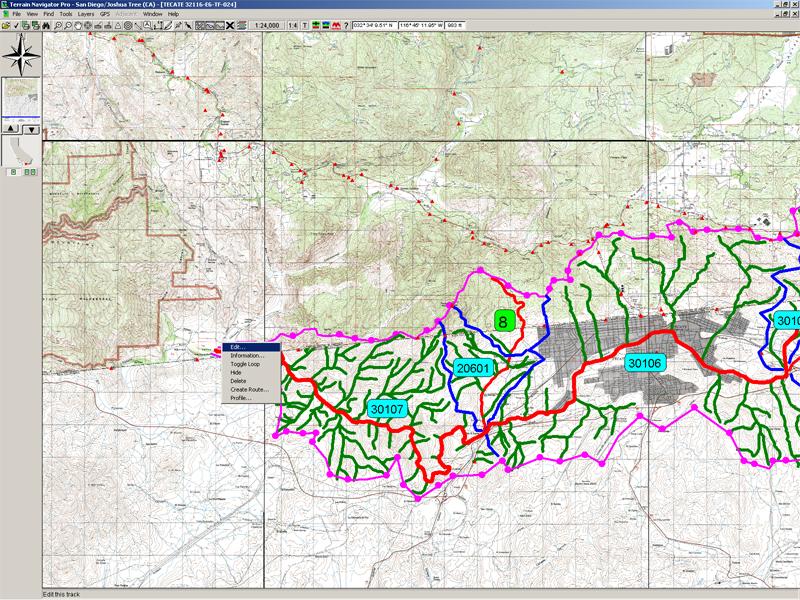
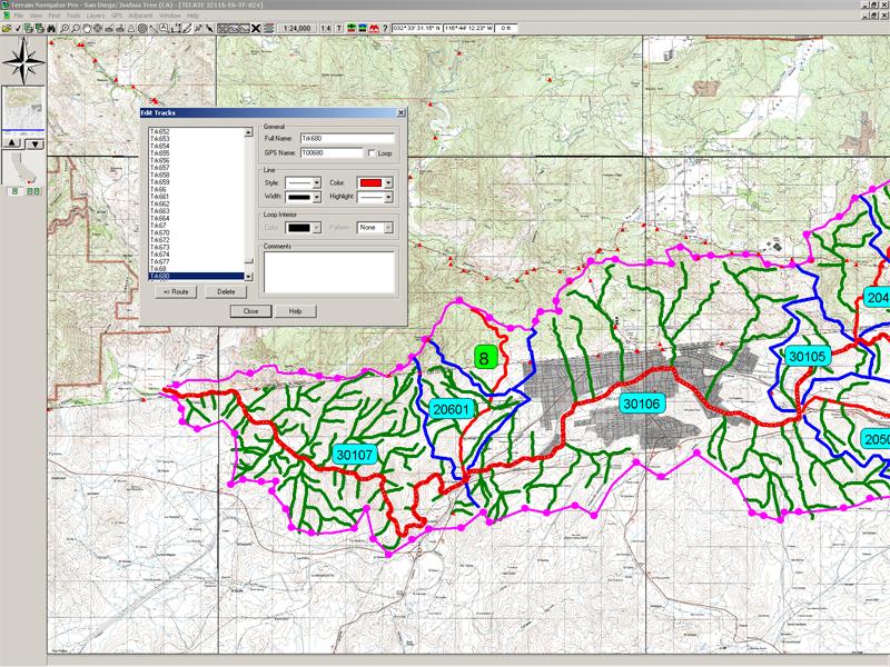
- You can also change the style, color and width of the line.
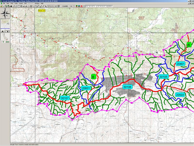
- To calculate an area, go to Tool Bar and select "Route Tool" (cartesian xy).
- Put some waypoints around the area and close the route doing right click and selecting "Toggle route loop".
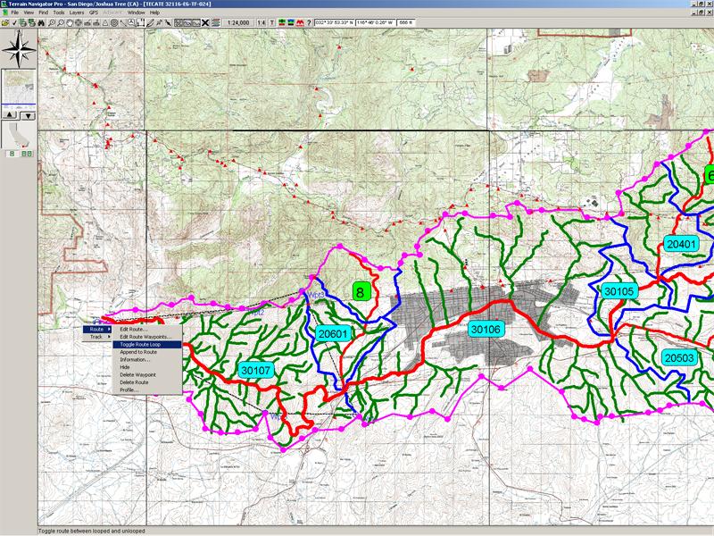
- Now you can fix the waypoints around the area.
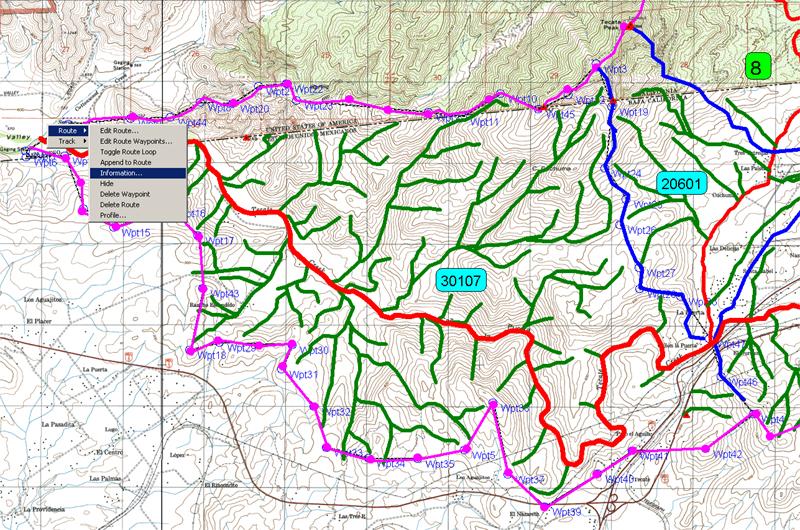
- When you finish, right click on the menu and select "Information".
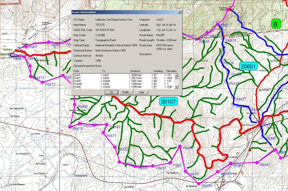
- You will see the Route Information, including the route area.
|


